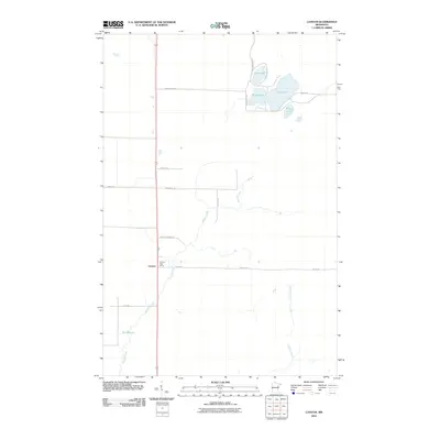
2010 Map of Canyon
USGS Topo · Published 2010About this map
Canyon serves as the primary focal point of this northern Minnesota landscape, anchored by the Canyon Post Office along the main transit corridor. The geography is defined by a dense network of water bodies and drainage systems, including the cluster of Leora Lake, Rose Lake, Dodo Lake, and Winkle Lake in the northeast. These lakes are connected by local routes like Winkle Ln and E Rose Lake Dr, suggesting a pocket of seasonal or residential activity. To the south and west, the terrain is shaped by the meandering paths of Hellwig Creek and Chicken Creek, while Moose Lake sits in the southwest corner. The road grid, featuring names like Linde Lof Rd and Berklund Rd, reflects a pattern of rural settlement and land division characteristic of the Saint Louis County interior during the early 21st century.
Find a feature on this map
20 named features on this map. Tap any name to fly to it.
Don’t see what you’re looking for? This feature index may not catch every label — zoom into the map to look around manually.
Map Details
Editions of this 2010 Canyon Map
This is the sole edition of this map. No revisions or reprints were ever made.
Other maps of this area

1953 · Twig
USGS Topo · 1:24,000

1953 · Canyon
USGS Topo · 1:24,000

1953 · Shaw
USGS Topo · 1:24,000

1953 · Payne
USGS Topo · 1:24,000

1953 · Alborn
USGS Topo · 1:24,000

1953 · Independence
USGS Topo · 1:24,000

1953 · Duluth
USGS Topo · 1:250,000

1954 · Hibbing
USGS Topo · 1:250,000

1956 · Cotton
USGS Topo · 1:24,000

1956 · Whiteface
USGS Topo · 1:24,000