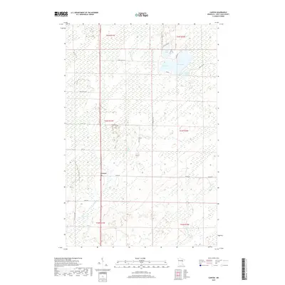
2019 Map of Canyon
USGS Topo · Published 2019About this map
Canyon serves as the primary point of settlement in this northern Minnesota landscape, situated at a junction of regional transit. The surrounding terrain is heavily defined by its hydrography, featuring a cluster of named bodies of water including Rose Lake, Leora Lake, Dodo Lake, and Winkle Lake. To the south, the drainage of Moose Lake feeds into local waterways like Hellwig Cr and Chicken Cr, illustrating a complex wetland and stream network. The road system, comprised of routes such as Co Hwy 133 and Lake Nichols Rd, suggests a pattern of rural residential development and land management tied to the lakefronts. Local access is further detailed by numerous smaller thoroughfares like Berg Rd and Harris Rd, which navigate the township and range divisions of the Saint Louis County interior.
Find a feature on this map
24 named features on this map. Tap any name to fly to it.
Don’t see what you’re looking for? This feature index may not catch every label — zoom into the map to look around manually.
Map Details
Editions of this 2019 Canyon Map
This is the sole edition of this map. No revisions or reprints were ever made.
Other maps of this area

1953 · Twig
USGS Topo · 1:24,000

1953 · Canyon
USGS Topo · 1:24,000

1953 · Shaw
USGS Topo · 1:24,000

1953 · Payne
USGS Topo · 1:24,000

1953 · Alborn
USGS Topo · 1:24,000

1953 · Independence
USGS Topo · 1:24,000

1953 · Duluth
USGS Topo · 1:250,000

1954 · Hibbing
USGS Topo · 1:250,000

1956 · Cotton
USGS Topo · 1:24,000

1956 · Whiteface
USGS Topo · 1:24,000