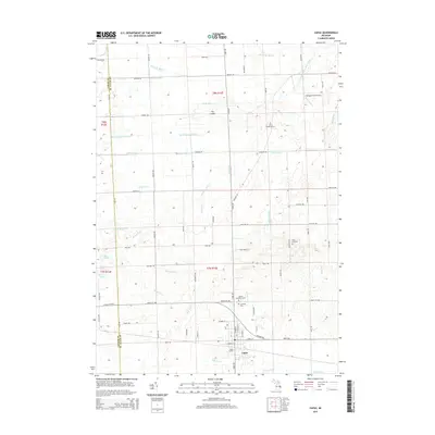
2014 Map of Capac
USGS Topo · Published 2014About this map
Capac serves as the primary hub in this eastern Michigan landscape, defined by a meticulously managed network of agricultural drainage and small water bodies. The village layout is centered around Capac Station, reflecting its historical reliance on the rail corridor that parallels Imlay City Rd. North of the settlement, the terrain transitions into a patchwork of rural farmsteads and managed waterways like the Black Segate Reid Drain and Franklin Drain.
Find a feature on this map
91 named features on this map. Tap any name to fly to it.
Don’t see what you’re looking for? This feature index may not catch every label — zoom into the map to look around manually.
Map Details
Editions of this 2014 Capac Map
This is the sole edition of this map. No revisions or reprints were ever made.
Other maps of this area

1914 · Armada
USGS Topo · 1:62,500

1928 · Armada
USGS Topo · 1:62,500

1944 · Memphis
USGS Topo · 1:24,000

1945 · Almont
USGS Topo · 1:24,000

1945 · Allenton
USGS Topo · 1:24,000

1952 · Allenton
USGS Topo · 1:24,000

1952 · Memphis
USGS Topo · 1:24,000

1954 · Detroit
USGS Topo · 1:250,000

1954 · Flint
USGS Topo · 1:250,000

1958 · Flint
USGS Topo · 1:250,000