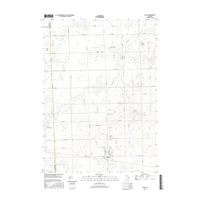
2017 Map of Capac
USGS Topo · Published 2017About this map
Capac serves as the primary hub of this eastern Michigan landscape, situated at the intersection of a grid-like road network and a complex system of agricultural drainage. The village's core is defined by a dense residential block pattern, while the surrounding Mussey Township terrain is characterized by its hydrological history, evidenced by numerous named channels like S Br Mill Cr and the Capac Drain. The presence of several small burial grounds, including the Lynn Township Cem and Pine Hill Cem, provides a glimpse into the local genealogical record of the region.
Find a feature on this map
97 named features on this map. Tap any name to fly to it.
Don’t see what you’re looking for? This feature index may not catch every label — zoom into the map to look around manually.
Map Details
Editions of this 2017 Capac Map
This is the sole edition of this map. No revisions or reprints were ever made.
Other maps of this area

1914 · Armada
USGS Topo · 1:62,500

1928 · Armada
USGS Topo · 1:62,500

1944 · Memphis
USGS Topo · 1:24,000

1945 · Almont
USGS Topo · 1:24,000

1945 · Allenton
USGS Topo · 1:24,000

1952 · Allenton
USGS Topo · 1:24,000

1952 · Memphis
USGS Topo · 1:24,000

1954 · Detroit
USGS Topo · 1:250,000

1954 · Flint
USGS Topo · 1:250,000

1958 · Flint
USGS Topo · 1:250,000