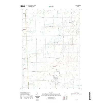
2019 Map of Capac
USGS Topo · Published 2019About this map
Capac serves as the central hub for this portion of eastern Michigan, where the residential street grid gives way to a complex system of agricultural drainage and natural waterways. The landscape is defined by the headwaters of the South Branch Mill Creek and the North Branch Mill Creek, fed by a network of engineered channels such as the Flansburg Drain and Frasier Drain. These drainage patterns indicate a long-standing history of land reclamation for farming in the low-lying terrain near The Island.
Find a feature on this map
103 named features on this map. Tap any name to fly to it.
Don’t see what you’re looking for? This feature index may not catch every label — zoom into the map to look around manually.
Map Details
Editions of this 2019 Capac Map
This is the sole edition of this map. No revisions or reprints were ever made.
Other maps of this area

1914 · Armada
USGS Topo · 1:62,500

1928 · Armada
USGS Topo · 1:62,500

1944 · Memphis
USGS Topo · 1:24,000

1945 · Almont
USGS Topo · 1:24,000

1945 · Allenton
USGS Topo · 1:24,000

1952 · Allenton
USGS Topo · 1:24,000

1952 · Memphis
USGS Topo · 1:24,000

1954 · Detroit
USGS Topo · 1:250,000

1954 · Flint
USGS Topo · 1:250,000

1958 · Flint
USGS Topo · 1:250,000