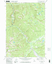
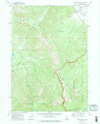
1972 Map of Cape Horn Lakes
USGS Topo · Published 1986About this map
Marsh Creek and Beaver Creek dominate this 1970s wilderness landscape, where the Sawtooth Range meets the deep drainages of the Challis National Forest. The map documents a primitive infrastructure of Pack Trail and Jeep Trail routes, highlighting the remote character of the Valley Co Custer Co line. Along the water, recreational and monitoring sites like Lola Creek Campground and a Gaging Station reflect the mid-century management of these public lands. Significant high-elevation features include Ruffneck Peak and the namesake Cape Horn Lakes, while the northwest corner of the sheet preserves the path of the Middle Fork Salmon River Wild And Scenic River as it cuts through the mountains. Small landmarks such as the Bradley Memorial Camp and Big Hole offer specific points of interest for local history and backcountry exploration.
Find a feature on this map
44 named features on this map. Tap any name to fly to it.
Don’t see what you’re looking for? This feature index may not catch every label — zoom into the map to look around manually.
Map Details
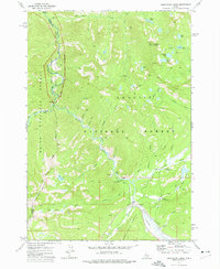
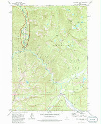
Editions of this 1972 Cape Horn Lakes Map
3 editions found
Other maps of this area

1891 · Bear Valley
USGS Topo · 1:125,000

1893 · Bear Valley
USGS Topo · 1:125,000

1957 · Challis
USGS Topo · 1:250,000

1960 · Challis
USGS Topo · 1:250,000

1961 · Greyhound Ridge
USGS Topo · 1:62,500

1961 · Chinook Mtn
USGS Topo · 1:62,500

1963 · Challis
USGS Topo · 1:250,000

1972 · Bull Trout Point
USGS Topo · 1:24,000
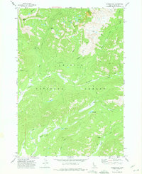
1972 · Langer Peak
USGS Topo · 1:24,000
1972 · Banner Summit
USGS Topo · 1:24,000