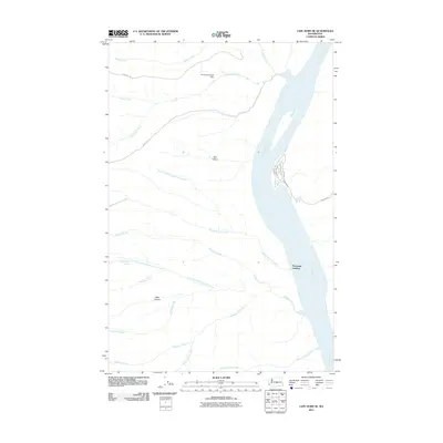
2011 Map of Cape Horn SE
USGS Topo · Published 2011About this map
The Columbia River carves a deep path through Kittitas County in this 2011 survey, defining the eastern boundary of a landscape shaped by dramatic geological features like Box Canyon and Patte Canyon. Near the river's edge, Scammon Landing serves as a notable riverside point of reference, while a small residential street grid including Section Ave and River Dr SW marks a pocket of development against the arid interior.
Find a feature on this map
24 named features on this map. Tap any name to fly to it.
Don’t see what you’re looking for? This feature index may not catch every label — zoom into the map to look around manually.
Map Details
Editions of this 2011 Cape Horn SE Map
This is the sole edition of this map. No revisions or reprints were ever made.
Other maps of this area
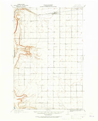
1909 · Quincy
USGS Topo · 1:62,500
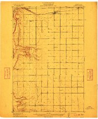
1910 · Quincy
USGS Topo · 1:62,500
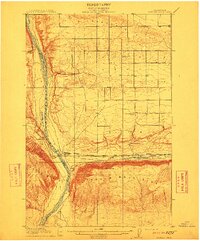
1912 · Beverly
USGS Topo · 1:62,500
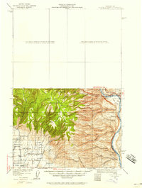
1920 · Colockum Pass
USGS Topo · 1:125,000
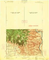
1922 · Colockum Pass
USGS Topo · 1:125,000
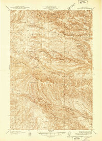
1939 · Boylston
USGS Topo · 1:48,000
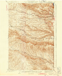
1943 · Boylston
USGS Topo · 1:62,500
1950 · Yakima
USGS Topo · 1:250,000
1953 · Ginkgo
USGS Topo · 1:24,000
1953 · Boylston
USGS Topo · 1:24,000