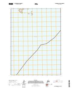
2020 Map of Cape Mendenhall D-3 SE
USGS Topo · Published 2020About this map
The Bering Sea dominates this coastal survey, where the saltwater of the North Pacific meets the southwestern edge of the Yukon-Kuskokwim Delta. This map reflects a landscape defined by its coastal interface and the Public Land Survey System grid, including boundaries for t3s r97w, t3s r96w, t4s r97w, and t4s r96w. The primary information gain here is the precise depiction of the 2020 shoreline position, a critical baseline for researchers monitoring the shifting geography of coastal Alaska. The lack of inland labels underscores the remote, undeveloped nature of this portion of the Bethel Census Area, where the topography is shaped more by maritime influence than human infrastructure.
Find a feature on this map
5 named features on this map. Tap any name to fly to it.
Don’t see what you’re looking for? This feature index may not catch every label — zoom into the map to look around manually.
Map Details
Editions of this 2020 Cape Mendenhall D-3 SE Map
This is the sole edition of this map. No revisions or reprints were ever made.
Other maps of this area

1951 · Cape Mendenhall
USGS Topo · 1:250,000

1952 · Cape Mendenhall D-3
USGS Topo · 1:63,360

1952 · Cape Mendenhall
USGS Topo · 1:250,000
1952 · Cape Mendenhall D-2
USGS Topo · 1:63,360
2020 · Cape Mendenhall D-3 NW
USGS Topo · 1:25,000
2020 · Cape Mendenhall D-2 NW
USGS Topo · 1:25,000
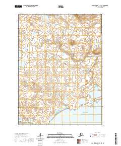
2020 · Cape Mendenhall D-3 NE
USGS Topo · 1:25,000
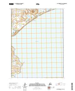
2020 · Cape Mendenhall D-3 SW
USGS Topo · 1:25,000