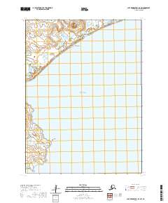
2020 Map of Cape Mendenhall D-3 SW
USGS Topo · Published 2020About this map
Cape Mendenhall and the southern reaches of the Bering Sea dominate this remote Alaskan coastline, where the landscape is defined by dynamic coastal features and shifting sands. To the north, the Nunathloogagamiutbingoi Dunes form a distinctive geological barrier between the open Bering Sea and the interior wetlands. These extensive dune systems imply a persistent wind-driven environment that shapes the local topography, punctuated by the modest rise of Ingriruk Hill.
Find a feature on this map
11 named features on this map. Tap any name to fly to it.
Don’t see what you’re looking for? This feature index may not catch every label — zoom into the map to look around manually.
Map Details
Editions of this 2020 Cape Mendenhall D-3 SW Map
This is the sole edition of this map. No revisions or reprints were ever made.
Other maps of this area

1951 · Cape Mendenhall
USGS Topo · 1:250,000

1952 · Cape Mendenhall D-4
USGS Topo · 1:63,360

1952 · Cape Mendenhall D-3
USGS Topo · 1:63,360

1952 · Cape Mendenhall
USGS Topo · 1:250,000
2020 · Cape Mendenhall D-3 SE
USGS Topo · 1:25,000
2020 · Cape Mendenhall D-3 NW
USGS Topo · 1:25,000
2020 · Cape Mendenhall D-3 NE
USGS Topo · 1:25,000
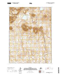
2020 · Cape Mendenhall D-4 NE
USGS Topo · 1:25,000
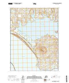
2020 · Cape Mendenhall D-4 SE
USGS Topo · 1:25,000