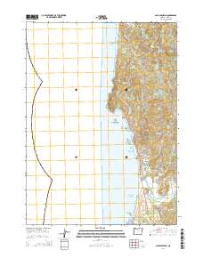
2014 Map of Cape Sebastian
USGS Topo · Published 2014About this map
Cape Sebastian dominates this coastal stretch of the Pacific Northwest, where the land drops sharply into the Pacific Ocean. This 2014 survey documents the rugged geography of Curry County, specifically the area south of Gold Beach where the Oregon Coast Hwy winds along the cliffs. The presence of Evans Log Ponds and the Pistol R Log Pond near the mouth of the Pistol River points to the area's continued reliance on the timber industry, providing a modern record of water-management for local milling or transport.
Find a feature on this map
46 named features on this map. Tap any name to fly to it.
Don’t see what you’re looking for? This feature index may not catch every label — zoom into the map to look around manually.
Map Details
Editions of this 2014 Cape Sebastian Map
This is the sole edition of this map. No revisions or reprints were ever made.
Other maps of this area

1954 · Coos Bay
USGS Topo · 1:250,000

1954 · Cape Ferrelo
USGS Topo · 1:62,500

1954 · Gold Beach
USGS Topo · 1:62,500

1958 · Coos Bay
USGS Topo · 1:250,000

1962 · Coos Bay
USGS Topo · 1:250,000
1985 · Mack Point
USGS Topo · 1:24,000
1986 · Carpenterville
USGS Topo · 1:24,000
1986 · Sundown Mtn
USGS Topo · 1:24,000
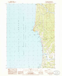
1986 · Cape Sebastian
USGS Topo · 1:24,000
1986 · Gold Beach
USGS Topo · 1:24,000