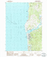
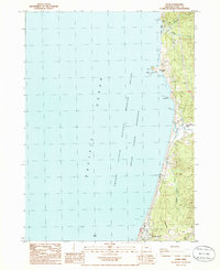
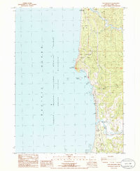
1986 Map of Gold Beach
USGS Topo · Published 1986About this map
Gold Beach and Wedderburn sit at the mouth of the Rogue River in this mid-1980s topographical record of the Oregon coast. The landscape is defined by the meeting of river and sea, where landmarks like Ferry Hole Bar and Johns Hole characterize the shifting waters of the Rogue. To the west, the Oregon Islands National Wildlife Refuge encompasses offshore features such as Needle Rock, Double Rock, and Pyramid Rock, indicating the protective status of the coastal environment.
Find a feature on this map
45 named features on this map. Tap any name to fly to it.
Don’t see what you’re looking for? This feature index may not catch every label — zoom into the map to look around manually.
Map Details
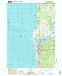
Editions of this 1986 Gold Beach Map
2 editions found
Other maps of this area

1899 · Port Orford
USGS Topo · 1:125,000

1903 · Port Orford
USGS Topo · 1:125,000

1954 · Coos Bay
USGS Topo · 1:250,000
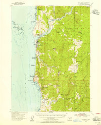
1954 · Port Orford
USGS Topo · 1:62,500
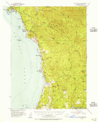
1954 · Gold Beach
USGS Topo · 1:62,500

1958 · Coos Bay
USGS Topo · 1:250,000

1962 · Coos Bay
USGS Topo · 1:250,000
1986 · Ophir
USGS Topo · 1:24,000
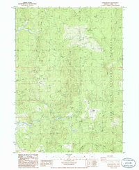
1986 · Sundown Mtn
USGS Topo · 1:24,000
1986 · Cape Sebastian
USGS Topo · 1:24,000