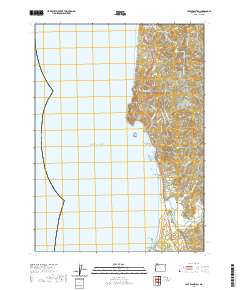
2020 Map of Cape Sebastian
USGS Topo · Published 2020About this map
Pistol River and the southern reaches of Gold Beach anchor this coastal survey, where the rugged Oregon shoreline meets the Pacific Ocean. The landscape is defined by its maritime geology, featuring prominent landmarks such as Cape Sebastian, Crook Point, and the offshore Hunters Island. These headlands and sea stacks, including Black Rock and Cave Rock, create a complex coastal profile that has long influenced local navigation and settlement.
Find a feature on this map
45 named features on this map. Tap any name to fly to it.
Don’t see what you’re looking for? This feature index may not catch every label — zoom into the map to look around manually.
Map Details
Editions of this 2020 Cape Sebastian Map
This is the sole edition of this map. No revisions or reprints were ever made.
Other maps of this area

1954 · Coos Bay
USGS Topo · 1:250,000

1954 · Cape Ferrelo
USGS Topo · 1:62,500

1954 · Gold Beach
USGS Topo · 1:62,500

1958 · Coos Bay
USGS Topo · 1:250,000

1962 · Coos Bay
USGS Topo · 1:250,000
1985 · Mack Point
USGS Topo · 1:24,000
1986 · Carpenterville
USGS Topo · 1:24,000
1986 · Sundown Mtn
USGS Topo · 1:24,000
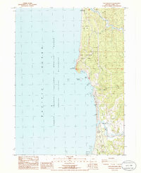
1986 · Cape Sebastian
USGS Topo · 1:24,000
1986 · Gold Beach
USGS Topo · 1:24,000