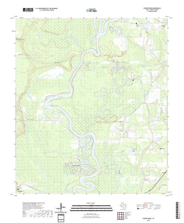
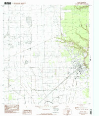
2022 Map of Capers Ridge
USGS Topo · Published 2022About this map
The Trinity River snakes through a dense network of bayous and wetlands in this portion of Liberty County, defining a landscape where water and land are inextricably linked. This modern survey illustrates the complex hydrology of the region, featuring intricate waterways such as Gillen Bayou, Knight Bayou, and McMurtry Bayou that carve through the bottomlands. The terrain is punctuated by elevated features like Capers Ridge and low-lying areas including Striplin Marsh and Prairie Marsh Gully.
Find a feature on this map
86 named features on this map. Tap any name to fly to it.
Don’t see what you’re looking for? This feature index may not catch every label — zoom into the map to look around manually.
Map Details
Editions of this 2022 Capers Ridge Map
This is the sole edition of this map. No revisions or reprints were ever made.
Other maps of this area
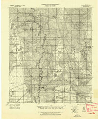
1943 · Liberty
USGS Topo · 1:125,000

1954 · Beaumont
USGS Topo · 1:250,000
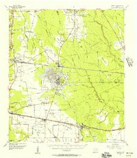
1955 · Daisetta
USGS Topo · 1:62,500
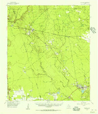
1955 · Saratoga
USGS Topo · 1:62,500
1955 · Rayburn
USGS Topo · 1:62,500
1955 · Liberty
USGS Topo · 1:62,500

1957 · Beaumont
USGS Topo · 1:250,000
1984 · Beaumont
USGS Topo · 1:250,000
1984 · Arizona Creek
USGS Topo · 1:24,000
1984 · Dayton
USGS Topo · 1:24,000