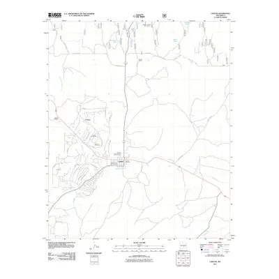
2011 Map of Capitan
USGS Topo · Published 2011About this map
Capitan serves as the hub for this Lincoln County landscape, situated at the confluence of local history and modern landmarks. The area's legacy is prominently anchored by the Smokey Bear State Park Point of Interest, a site tied to the region's famous resident, while the Smokey Capitan Mine-Mine to the north points to the mineral-driven development of earlier decades. The settlement pattern shows the evolution of the town through several residential concentrations, including Capitan Number One, Capitan Number Two, and the community of Coalora.
Find a feature on this map
44 named features on this map. Tap any name to fly to it.
Don’t see what you’re looking for? This feature index may not catch every label — zoom into the map to look around manually.
Map Details
Editions of this 2011 Capitan Map
This is the sole edition of this map. No revisions or reprints were ever made.
Other maps of this area

1934 · Capitan
USGS Topo · 1:48,000

1935 · Capitan Mountains
USGS Topo · 1:48,000

1937 · Capitan
USGS Topo · 1:62,500

1940 · Capitan Mountains
USGS Topo · 1:62,500

1955 · Roswell
USGS Topo · 1:250,000

1958 · Roswell
USGS Topo · 1:250,000

1961 · Lincoln
USGS Topo · 1:62,500

1962 · Roswell
USGS Topo · 1:250,000

1963 · Fort Stanton
USGS Topo · 1:24,000

1963 · Angus
USGS Topo · 1:24,000