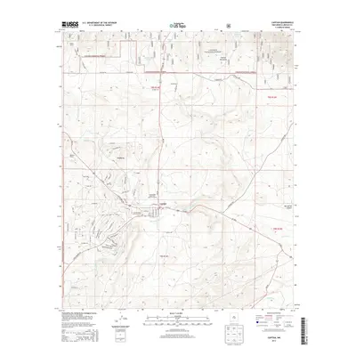
2013 Map of Capitan
USGS Topo · Published 2013About this map
Capitan sits at the junction of US Highway 380 and NM-246, serving as a gateway to the high elevations of the Lincoln National Forest. The landscape is defined by the dramatic southern slopes of the Capitan Mountains and the winding drainage of Salado Cr. This area is notable for its connection to fire prevention history, anchored by the Smokey Bear State Park Point of Interest near the center of town. North of the primary settlement, the map shows the layout of Coalora, while scattered operations like Flatley Ranch and Golder Ranch illustrate the region's enduring ranching economy. A network of Forest Service roads and the historic Tucson Trail penetrate the higher terrain, providing access to remote water sources like Hondo Tank and Southwest Tank.
Find a feature on this map
104 named features on this map. Tap any name to fly to it.
Don’t see what you’re looking for? This feature index may not catch every label — zoom into the map to look around manually.
Map Details
Editions of this 2013 Capitan Map
This is the sole edition of this map. No revisions or reprints were ever made.
Other maps of this area

1934 · Capitan
USGS Topo · 1:48,000

1935 · Capitan Mountains
USGS Topo · 1:48,000

1937 · Capitan
USGS Topo · 1:62,500

1940 · Capitan Mountains
USGS Topo · 1:62,500

1955 · Roswell
USGS Topo · 1:250,000

1958 · Roswell
USGS Topo · 1:250,000

1961 · Lincoln
USGS Topo · 1:62,500

1962 · Roswell
USGS Topo · 1:250,000

1963 · Fort Stanton
USGS Topo · 1:24,000

1963 · Angus
USGS Topo · 1:24,000