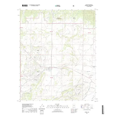
2020 Map of Capitan
USGS Topo · Published 2020About this map
The village of Capitan and its surrounding high-desert environment are detailed in this modern survey, highlighting the area’s identity as the home of the legendary bear cub. The town’s grid is centered on Smokey Bear Blvd and stretches toward the southern foothills of the Capitan Mountains. Just to the north, the settlement of Coalora sits near the N Fork Salado Cr, reflecting a landscape defined by the drainage systems of Salado Cr and Magado Cr.
Find a feature on this map
53 named features on this map. Tap any name to fly to it.
Don’t see what you’re looking for? This feature index may not catch every label — zoom into the map to look around manually.
Map Details
Editions of this 2020 Capitan Map
This is the sole edition of this map. No revisions or reprints were ever made.
Other maps of this area

1934 · Capitan
USGS Topo · 1:48,000

1935 · Capitan Mountains
USGS Topo · 1:48,000

1937 · Capitan
USGS Topo · 1:62,500

1940 · Capitan Mountains
USGS Topo · 1:62,500

1955 · Roswell
USGS Topo · 1:250,000

1958 · Roswell
USGS Topo · 1:250,000

1961 · Lincoln
USGS Topo · 1:62,500

1962 · Roswell
USGS Topo · 1:250,000

1963 · Fort Stanton
USGS Topo · 1:24,000

1963 · Angus
USGS Topo · 1:24,000