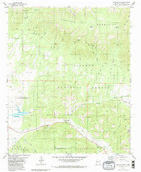
1981 Map of Capitan Pass
USGS Topo · Published 1981About this map
The Lincoln National Forest dominates this landscape, where the high ridges of the Capitan Mountains meet a complex system of drainage canyons. The southern portion of the map centers on the winding course of the Rio Bonito, a vital water source in this arid environment, flanked by the U S Government Reservation Boundary. Small-scale historical activity is evidenced by scattered prospects, a Gravel Pit, and various springs like Hammett Spring and Lincoln Canyon Spring that supported local ranching or early homesteading efforts.
Find a feature on this map
51 named features on this map. Tap any name to fly to it.
Don’t see what you’re looking for? This feature index may not catch every label — zoom into the map to look around manually.
Map Details
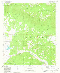
Editions of this 1981 Capitan Pass Map
2 editions found
Other maps of this area

1934 · Capitan
USGS Topo · 1:48,000

1935 · Capitan Mountains
USGS Topo · 1:48,000

1937 · Capitan
USGS Topo · 1:62,500

1940 · Capitan Mountains
USGS Topo · 1:62,500

1955 · Roswell
USGS Topo · 1:250,000

1958 · Roswell
USGS Topo · 1:250,000

1961 · Lincoln
USGS Topo · 1:62,500

1962 · Roswell
USGS Topo · 1:250,000

1963 · Fort Stanton
USGS Topo · 1:24,000

1973 · Jacob Spring
USGS Topo · 1:24,000