
1939 Map of Caplinger Mills
USGS Topo · Published 1941About this map
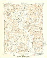
Sac River and its winding tributaries dominate this 1939 topography, defining the landscape of Washington and Cedar townships just before the 1940s. The settlement of Caplinger Mills serves as a focal point along the river, while the surrounding countryside is densely peppered with one-room schoolhouses such as Love Sch, Flatrock Sch, and Rich Hill Sch. This map reveals a community-centered rural geography where social life was anchored by local landmarks like Leila Store and the Old Union Ch.
Find a feature on this map
47 named features on this map. Tap any name to fly to it.
Don’t see what you’re looking for? This feature index may not catch every label — zoom into the map to look around manually.
Map Details
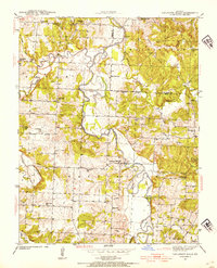
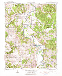
Editions of this 1939 Caplinger Mills Map
4 editions found
Other maps of this area

1886 · Stockton
USGS Topo · 1:125,000

1937 · Tiffin
USGS Topo · 1:31,680

1938 · Roscoe
USGS Topo · 1:24,000

1938 · Vista
USGS Topo · 1:24,000

1939 · Arnica
USGS Topo · 1:24,000

1939 · Filley
USGS Topo · 1:24,000

1940 · Roscoe
USGS Topo · 1:24,000

1940 · Filley
USGS Topo · 1:24,000

1940 · Vista
USGS Topo · 1:24,000

1941 · Caplinger Mills
USGS Topo · 1:24,000