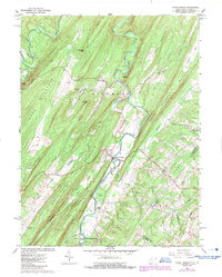
1965 Map of Capon Bridge
USGS Topo · Published 1987About this map
The Cacapon River carves a winding path through this corner of Hampshire County, West Virginia, and Frederick County, Virginia, during the mid-1960s. The settlement of Capon Bridge serves as the focal point, situated where the river meets several mountain ridges. This landscape is defined by its series of parallel ridges, including Ice Mountain, Dillons Mountain, and Bear Garden Mountain. The map reveals a community connected by local institutions like Capon Chapel and Sandy Ridge Cem Ch, alongside recreation spots such as Camp White Rock and Buffalo Gap Camp.
Find a feature on this map
47 named features on this map. Tap any name to fly to it.
Don’t see what you’re looking for? This feature index may not catch every label — zoom into the map to look around manually.
Map Details
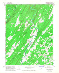
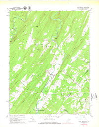
Editions of this 1965 Capon Bridge Map
3 editions found
Other maps of this area

1891 · Romney
USGS Topo · 1:125,000

1894 · Winchester
USGS Topo · 1:125,000

1916 · Capon Bridge
USGS Topo · 1:62,500

1921 · Hanging Rock
USGS Topo · 1:48,000

1922 · Wardensville
USGS Topo · 1:62,500

1923 · Middletown
USGS Topo · 1:62,500

1923 · Capon Bridge
USGS Topo · 1:62,500

1923 · Hanging Rock
USGS Topo · 1:62,500

1924 · Wardensville
USGS Topo · 1:62,500

1937 · Capon Bridge
USGS Topo · 1:48,000