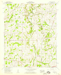
1958 Map of Capshaw
USGS Topo · Published 1959About this map
Limestone Creek and its many tributaries, including French Mill Creek and Chickasaw Branch, define the rural landscape of North Alabama in the late 1950s. The terrain is a network of family-owned farms and small rural settlements such as Harvest, Clarkdale, and Capshaw. A significant historical corridor is visible in the form of the Old Railroad Bed running north-south through the center of the quadrangle, which once connected these farming communities to regional markets. Genealogists will find a high density of small family and community burial grounds, such as Nick Davis Cem, McClellan Cem, and Wesley Chapel Cem. The social fabric of the era is anchored by local institutions like Pilgrim Home Church and Fairmount Sch, while the Pine Swamp suggests the natural, undrained state of the lowlands before modern agricultural modification.
Find a feature on this map
52 named features on this map. Tap any name to fly to it.
Don’t see what you’re looking for? This feature index may not catch every label — zoom into the map to look around manually.
Map Details
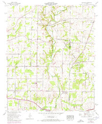
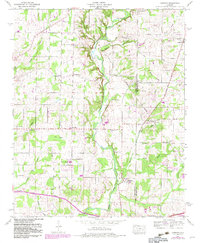
Editions of this 1958 Capshaw Map
3 editions found
Other maps of this area

1888 · Huntsville
USGS Topo · 1:125,000

1892 · Huntsville
USGS Topo · 1:125,000

1935 · Athens
USGS Topo · 1:24,000

1936 · Jeff
USGS Topo · 1:24,000

1936 · Capshaw
USGS Topo · 1:24,000

1936 · Madison
USGS Topo · 1:24,000

1936 · Elkmont
USGS Topo · 1:24,000

1936 · Ardmore
USGS Topo · 1:24,000

1936 · Toney
USGS Topo · 1:24,000

1936 · Tanner
USGS Topo · 1:24,000