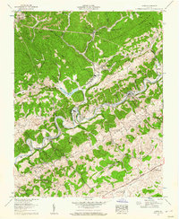
1958 Map of Carbo
USGS Topo · Published 1960About this map
The settlement of Carbo and its surrounding terrain are captured here in a 1958 Tennessee Valley Authority survey. Situated in the rugged landscape of Russell County, the area is defined by the winding course of the Clinch River and the industrial infrastructure that supported the regional economy during the late 1950s. The map illustrates a specialized landscape where transportation and topography intersect, reflecting the era's focus on resource extraction and energy production in the Appalachian highlands.
Find a feature on this map
1 named feature on this map. Tap any name to fly to it.
Don’t see what you’re looking for? This feature index may not catch every label — zoom into the map to look around manually.
Map Details
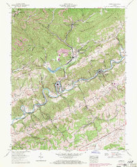
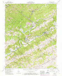
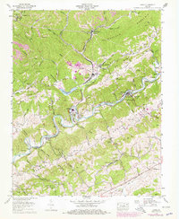
Editions of this 1958 Carbo Map
4 editions found
Other maps of this area

1886 · Grundy
USGS Topo · 1:125,000

1890 · Grundy
USGS Topo · 1:125,000

1892 · Grundy
USGS Topo · 1:125,000

1897 · Bristol
USGS Topo · 1:125,000

1902 · Bristol
USGS Topo · 1:125,000

1913 · Clintwood
USGS Topo · 1:62,500

1914 · Bucu
USGS Topo · 1:48,000

1915 · Clintwood
USGS Topo · 1:62,500

1916 · Bucu
USGS Topo · 1:62,500

1918 · Carterton
USGS Topo · 1:62,500