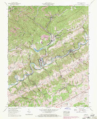
1958 Map of Carbo
USGS Topo · Published 1971About this map
The Clinch River defines the landscape of this portion of Russell County, winding through sharp bends like Dry Run Bend and passing industrial landmarks such as the Clinch River Steam Plant at Carbo. This late 1950s record shows a region deeply connected to the coal and rail industries, evidenced by the Norfolk and Western railway and numerous coal-related features including strip mines, a mine dump, and the company town character of South Clinchfield.
Find a feature on this map
106 named features on this map. Tap any name to fly to it.
Don’t see what you’re looking for? This feature index may not catch every label — zoom into the map to look around manually.
Map Details
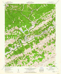
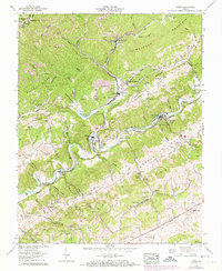
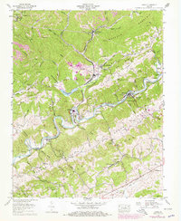
Editions of this 1958 Carbo Map
4 editions found
Other maps of this area

1886 · Grundy
USGS Topo · 1:125,000

1890 · Grundy
USGS Topo · 1:125,000

1892 · Grundy
USGS Topo · 1:125,000

1897 · Bristol
USGS Topo · 1:125,000

1902 · Bristol
USGS Topo · 1:125,000

1913 · Clintwood
USGS Topo · 1:62,500

1914 · Bucu
USGS Topo · 1:48,000

1915 · Clintwood
USGS Topo · 1:62,500

1916 · Bucu
USGS Topo · 1:62,500

1918 · Carterton
USGS Topo · 1:62,500