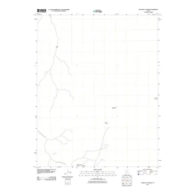
2011 Map of Carcass Canyon
USGS Topo · Published 2011About this map
Kaiparowits Plateau dominates this high-altitude landscape in southern Utah, where the arid environment is punctuated by vital water sources like Relishen Seep and Hardhead Water Spring. This 2011 survey details a region characterized by deep erosion and drainage systems, with Carcass Canyon, Sarah Ann Canyon, and Long Canyon cutting through the terrain. The southwestern portion of the sheet is protected within Glen Canyon National Park, reflecting the intersection of federal land management and the open rangeland of the high desert. Labels such as Camp Flat and Big Sage indicate the open, sparsely vegetated character of the plateau, providing essential spatial data for navigating this complex system of canyons and mesas far from established settlements.
Find a feature on this map
9 named features on this map. Tap any name to fly to it.
Don’t see what you’re looking for? This feature index may not catch every label — zoom into the map to look around manually.
Map Details
Editions of this 2011 Carcass Canyon Map
This is the sole edition of this map. No revisions or reprints were ever made.
Other maps of this area

1886 · Escalante
USGS Topo · 1:250,000

1922 · Upper Last Chance
USGS Topo · 1:63,360

1922 · Rees Canyon
USGS Topo · 1:63,360

1956 · Escalante
USGS Topo · 1:250,000

1960 · Escalante
USGS Topo · 1:250,000

1964 · Tenmile Flat
USGS Topo · 1:24,000

1964 · Dave Canyon
USGS Topo · 1:24,000

1964 · Canaan Creek
USGS Topo · 1:24,000

1964 · Seep Flat
USGS Topo · 1:24,000

1964 · Death Ridge
USGS Topo · 1:24,000