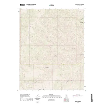
2023 Map of Carcass Canyon
USGS Topo · Published 2023About this map
The Kaiparowits Plateau defines this high-desert landscape in southern Utah, where the terrain is dominated by a complex network of dry washes and deep canyons. Dramatic verticality is evident along the Straight Cliffs to the northeast, while the southern portion of the map transitions into the broad expanse of Big Sage. The mapping shows the isolation of this region, with the Smoky Mountain Road Trl serving as one of the few established routes across the plateau, connecting scattered landmarks such as Camp Flat and the headwaters of Bull Run Canyon.
Find a feature on this map
17 named features on this map. Tap any name to fly to it.
Don’t see what you’re looking for? This feature index may not catch every label — zoom into the map to look around manually.
Map Details
Editions of this 2023 Carcass Canyon Map
This is the sole edition of this map. No revisions or reprints were ever made.
Other maps of this area

1886 · Escalante
USGS Topo · 1:250,000

1922 · Upper Last Chance
USGS Topo · 1:63,360

1922 · Rees Canyon
USGS Topo · 1:63,360

1956 · Escalante
USGS Topo · 1:250,000

1960 · Escalante
USGS Topo · 1:250,000

1964 · Tenmile Flat
USGS Topo · 1:24,000

1964 · Dave Canyon
USGS Topo · 1:24,000

1964 · Canaan Creek
USGS Topo · 1:24,000

1964 · Seep Flat
USGS Topo · 1:24,000

1964 · Death Ridge
USGS Topo · 1:24,000