
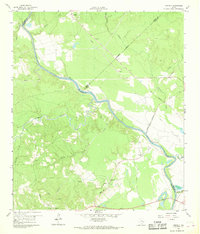
1960 Map of Carlisle
USGS Topo · Published 1962About this map
The Trinity River snakes through the center of this 1960s landscape, serving as a natural boundary between San Jacinto, Trinity, and Polk counties. This survey captures a rural Texas river valley defined by its tributaries and scattered landmarks, including the historic location of the Patricks Ferry. Small community centers are marked by country churches and cemeteries, such as St Marys Ch and Patricks Cem, alongside the Pointblank School in the southwest.
Find a feature on this map
27 named features on this map. Tap any name to fly to it.
Don’t see what you’re looking for? This feature index may not catch every label — zoom into the map to look around manually.
Map Details
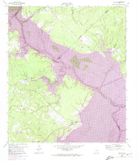
Editions of this 1960 Carlisle Map
3 editions found
Other maps of this area

1954 · Beaumont
USGS Topo · 1:250,000

1957 · Beaumont
USGS Topo · 1:250,000

1960 · Blanchard
USGS Topo · 1:24,000

1960 · Colita
USGS Topo · 1:24,000

1960 · Trinity East
USGS Topo · 1:24,000

1960 · Stephen Creek
USGS Topo · 1:24,000

1961 · Staley
USGS Topo · 1:24,000

1961 · Onalaska
USGS Topo · 1:24,000

1961 · Oakhurst
USGS Topo · 1:24,000

1984 · Beaumont
USGS Topo · 1:250,000