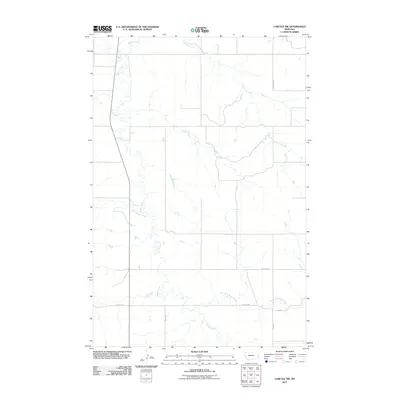
2011 Map of Carlyle NW
USGS Topo · Published 2011About this map
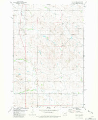
Beaver Creek and its various tributaries define this section of Fallon County, Montana, as it appeared in the early 21st century. The landscape is characterized by a network of drainage systems including Lone Tree Creek and the winding path of Rattlesnake Creek. This drainage-rich topography suggests a rural environment where water access dictates land use and the layout of the local road network.
Find a feature on this map
11 named features on this map. Tap any name to fly to it.
Don’t see what you’re looking for? This feature index may not catch every label — zoom into the map to look around manually.
Map Details
Editions of this 2011 Carlyle NW Map
This is the sole edition of this map. No revisions or reprints were ever made.
Other maps of this area

1953 · Miles City
USGS Topo · 1:250,000

1957 · Miles City
USGS Topo · 1:250,000

1958 · Miles City
USGS Topo · 1:250,000

1981 · Cap Rock
USGS Topo · 1:24,000
1981 · Shell Butte
USGS Topo · 1:24,000

1981 · Carlyle
USGS Topo · 1:24,000
1981 · Rush Hall Reservoir
USGS Topo · 1:24,000
1981 · Ollie
USGS Topo · 1:24,000
1981 · Carlyle NW
USGS Topo · 1:24,000

1981 · Wibaux
USGS Topo · 1:100,000