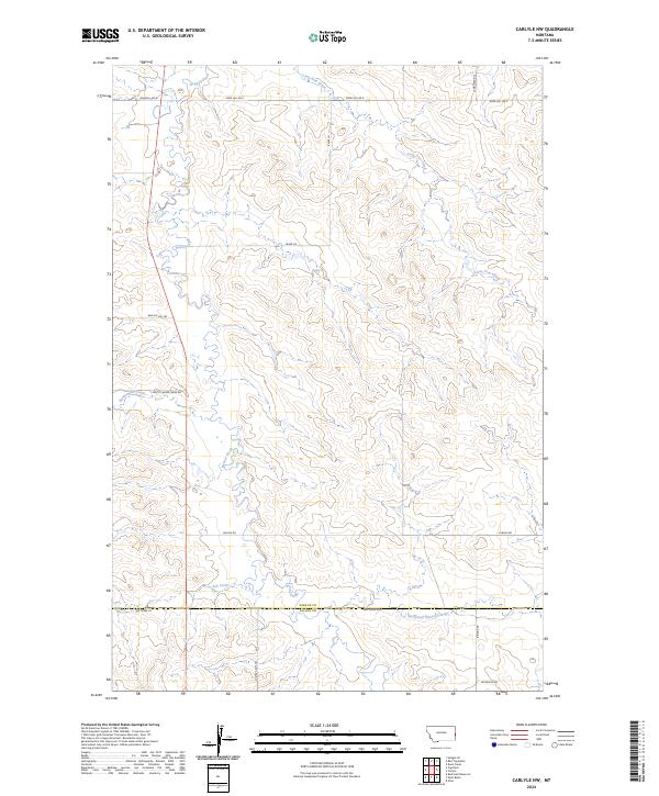
2024 Map of Carlyle NW
USGS Topo · Published 2024About this map
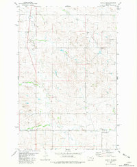
Beaver Creek and its seasonal tributaries define the landscape of this corner of Eastern Montana, where the terrain transitions across the boundary of Wibaux Co and Fallon Co. The network of local roads and named tracks, such as Custer Camp Trl and Rattle Snake Creek Rd, traces the drainage patterns of Lone Tree Creek and Ash Creek. This modern survey illustrates the sparse, sprawling settlement typical of the high plains, where large ranches are linked by long thoroughfares like Carlyle Rd and Edge Hill Rd E. Local landmarks like Beacon Hill Rd suggest the elevation changes that dictate the placement of ranch infrastructure near the branching waters of the East Fork Beaver Creek.
Find a feature on this map
24 named features on this map. Tap any name to fly to it.
Don’t see what you’re looking for? This feature index may not catch every label — zoom into the map to look around manually.
Map Details
Editions of this 2024 Carlyle NW Map
This is the sole edition of this map. No revisions or reprints were ever made.
Other maps of this area

1953 · Miles City
USGS Topo · 1:250,000

1957 · Miles City
USGS Topo · 1:250,000

1958 · Miles City
USGS Topo · 1:250,000

1981 · Cap Rock
USGS Topo · 1:24,000
1981 · Shell Butte
USGS Topo · 1:24,000

1981 · Carlyle
USGS Topo · 1:24,000
1981 · Rush Hall Reservoir
USGS Topo · 1:24,000
1981 · Ollie
USGS Topo · 1:24,000
1981 · Carlyle NW
USGS Topo · 1:24,000

1981 · Wibaux
USGS Topo · 1:100,000