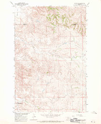
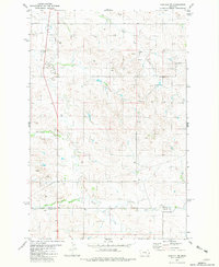
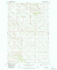
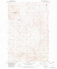
1997 Map of Carlyle
USGS Topo · Published 2001This historical map portrays the area of Carlyle in 1997, primarily covering Wibaux County as well as portions of North Dakota. Featuring a scale of 1:24000, this map provides a highly detailed snapshot of the terrain, roads, buildings, counties, and historical landmarks in the Carlyle region at the time. Published in 2001, it is the sole known edition of this map.
Map Details
Editions of this 1997 Carlyle Map
This is the sole edition of this map. No revisions or reprints were ever made.
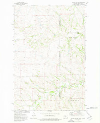
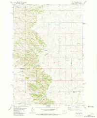
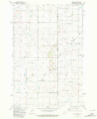
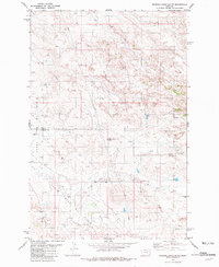
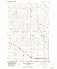
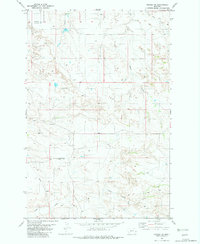
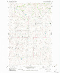
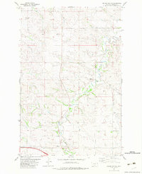
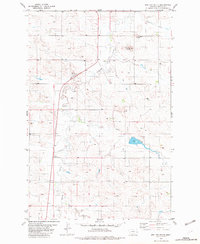
Historical Maps of Golden Valley County Through Time
18 maps found
1966 Savage SE
Wibaux County, MT
1974 Odland Dam NE
Wibaux County, MT
1981 Cap Rock
Wibaux County, MT
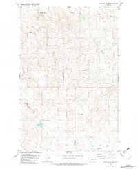
1981 Carlyle NW
Wibaux County, MT
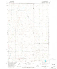
1981 Carlyle
Wibaux County, MT
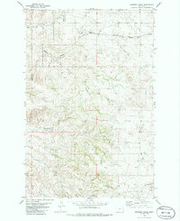
1981 Rocking Chair Butte
Wibaux County, MT
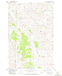
1982 Cluster Buttes SE
Wibaux County, MT
1982 Cluster Buttes
Wibaux County, MT
1982 Duck Creek
Wibaux County, MT
1982 Freeman Creek
Wibaux County, MT
1982 Graveyard Hill
Wibaux County, MT
1982 Hodges SE
Wibaux County, MT
1982 Hodges SW
Wibaux County, MT
1982 Odland Dam NW
Wibaux County, MT
1982 Odland Dam SW
Wibaux County, MT
1982 Parson Creek
Wibaux County, MT
1982 Red Top Butte
Wibaux County, MT
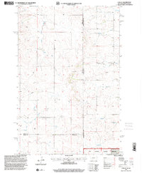
1997 Carlyle
Wibaux County, MT