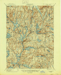
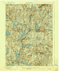
1928 Map of Carmel
USGS Topo · Published 1945About this map
Tilly Foster Mine stands as a prominent industrial landmark in the heart of Putnam County, reflecting an era when local extraction helped fuel regional development. This landscape is defined by an intricate network of water management, where the Croton Falls Reservoir, West Branch Reservoir, and Titicus Reservoir dominate the terrain to supply the growing needs of the metropolitan area to the south. The settlement pattern follows the New York and New England and Mahopac Branch rail lines, which connect established centers like Brewster and Carmel. In the late 1920s, village life centered around natural and man-made waters, from Lake Gleneida to Mahopac Lake. The map details the transition from the New York highlands into Fairfield County, Connecticut, tracing old roads and local names like Farmers Mills and Haviland Hollow that reveal the deep-rooted agricultural and milling history of the region.
Find a feature on this map
88 named features on this map. Tap any name to fly to it.
Don’t see what you’re looking for? This feature index may not catch every label — zoom into the map to look around manually.
Map Details
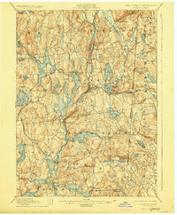
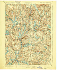
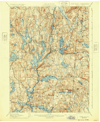
Editions of this 1928 Carmel Map
5 editions found
Other maps of this area

1892 · Stamford
USGS Topo · 1:62,500

1892 · West Point
USGS Topo · 1:62,500

1892 · Danbury
USGS Topo · 1:62,500

1892 · New Milford
USGS Topo · 1:62,500

1892 · Norwalk
USGS Topo · 1:62,500

1892 · Carmel
USGS Topo · 1:62,500

1892 · Tarrytown
USGS Topo · 1:62,500

1893 · Carmel
USGS Topo · 1:62,500

1893 · Stamford
USGS Topo · 1:62,500

1893 · Norwalk
USGS Topo · 1:62,500