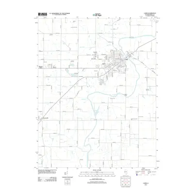
2012 Map of Carmi
USGS Topo · Published 2012About this map
The Little Wabash River flows through the heart of this White County landscape, anchoring the regional hub of Carmi. This 2012 survey illustrates a region where established agriculture and modern education meet an active petroleum industry. To the south and west of the city, the Carmi Oil Field and Storms Oil Field indicate the continued importance of mineral extraction in the Illinois basin. Local history is deeply etched into the land through numerous small burial grounds, including the Holderby Family Cem and Saunders Family Cem, which sit alongside larger community spaces like the Dawn of Ages Memorial Park. The presence of Southeastern Illinois College and the Possum Community Hall highlights the civic infrastructure serving the surrounding settlements of Milan and Brownsville.
Find a feature on this map
117 named features on this map. Tap any name to fly to it.
Don’t see what you’re looking for? This feature index may not catch every label — zoom into the map to look around manually.
Map Details
Editions of this 2012 Carmi Map
This is the sole edition of this map. No revisions or reprints were ever made.
Other maps of this area

1905 · Eldorado
USGS Topo · 1:62,500

1905 · New Haven
USGS Topo · 1:62,500

1906 · New Haven
USGS Topo · 1:62,500

1906 · Eldorado
USGS Topo · 1:62,500

1940 · Carmi
USGS Topo · 1:62,500

1941 · Enfield
USGS Topo · 1:62,500

1943 · Carmi
USGS Topo · 1:62,500

1944 · Enfield
USGS Topo · 1:62,500

1949 · Paducah
USGS Topo · 1:250,000

1949 · New Haven
USGS Topo · 1:62,500