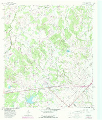
1958 Map of Carmine
USGS Topo · Published 1989About this map
Carmine serves as the central hub of this South Texas landscape, where the borders of Lee, Washington, and Fayette counties converge. The terrain is defined by a dense network of waterways, including Cedar Creek, Alum Creek, and Wolf Creek, which carve through a mix of woodland and agricultural clearings. Cultural life is anchored by numerous rural congregations such as St Matthew Missionary Ch and Independent Ch, alongside family landmarks like Homeymeyer Mtn.
Find a feature on this map
50 named features on this map. Tap any name to fly to it.
Don’t see what you’re looking for? This feature index may not catch every label — zoom into the map to look around manually.
Map Details
Editions of this 1958 Carmine Map
2 editions found
Other maps of this area

1919 · Giddings
USGS Topo · 1:62,500

1919 · Dime Box
USGS Topo · 1:62,500

1954 · Austin
USGS Topo · 1:250,000

1956 · Somerville
USGS Topo · 1:62,500

1958 · Ledbetter
USGS Topo · 1:24,000

1958 · Greenvine
USGS Topo · 1:24,000
1958 · Nechanitz
USGS Topo · 1:24,000

1958 · Carmine
USGS Topo · 1:24,000

1958 · Burton
USGS Topo · 1:24,000
1958 · Round Top
USGS Topo · 1:24,000