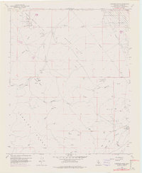
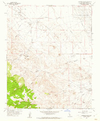
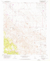
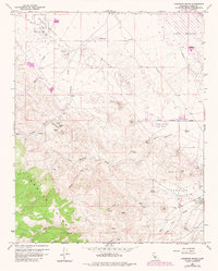
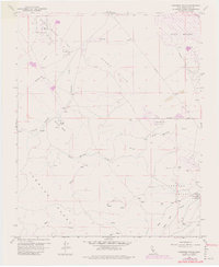
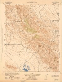
1959 Map of Carneros Rocks
USGS Topo · Published 1976About this map
The McDonald Anticline and Bacon Hills define the industrial and geological landscape of this Kern County region during the late 1950s. The terrain is marked by extensive energy extraction, featuring the Chico Martinez Oil Field and the Cymric Oil Field (Salt Creek Area). Numerous Strip Mines are scattered across the slopes, illustrating the intensive resource development of the era.
Find a feature on this map
21 named features on this map. Tap any name to fly to it.
Don’t see what you’re looking for? This feature index may not catch every label — zoom into the map to look around manually.
Map Details
Editions of this 1959 Carneros Rocks Map
5 editions found
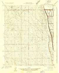
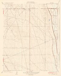
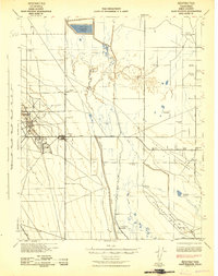
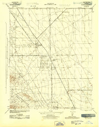
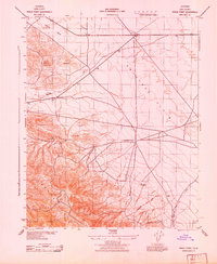
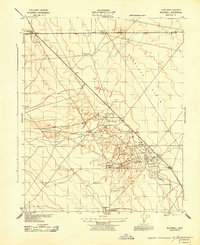
Other maps of this area

1912 · McKittrick
USGS Topo · 1:125,000

1914 · Lost Hills
USGS Topo · 1:125,000
1932 · West of Goose Lake
USGS Topo · 1:31,680
1934 · West of Goose Lake
USGS Topo · 1:31,680
1942 · Hart Station
USGS Topo · 1:62,500
1943 · Simmler
USGS Topo · 1:62,500
1943 · Belridge
USGS Topo · 1:31,680
1943 · Shale Point
USGS Topo · 1:31,680
1943 · Blackwell
USGS Topo · 1:31,680

1948 · Bakersfield
USGS Topo · 1:250,000