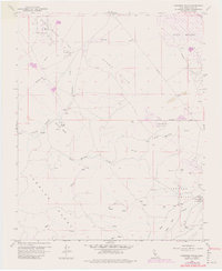
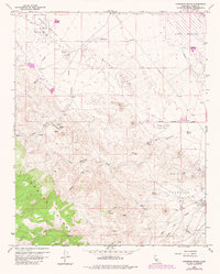
1959 Map of Carneros Rocks
USGS Topo · Published 1982About this map
The South Belridge Oil Field and surrounding petroleum operations dominate this mid-century look at the western edge of the San Joaquin Valley. This 1959 survey, photorevised in 1982, reveals a landscape defined by industry and geology, from the McDonald Anticline to the Cymric Oil Field. The terrain is characterized by numerous strip mines and seasonal drainage systems like Chico Martinez Creek and Zemorra Creek, which carve through the Bacon Hills.
Find a feature on this map
19 named features on this map. Tap any name to fly to it.
Don’t see what you’re looking for? This feature index may not catch every label — zoom into the map to look around manually.
Map Details
Editions of this 1959 Carneros Rocks Map
5 editions found
Other maps of this area

1912 · McKittrick
USGS Topo · 1:125,000

1914 · Lost Hills
USGS Topo · 1:125,000

1932 · West of Goose Lake
USGS Topo · 1:31,680

1934 · West of Goose Lake
USGS Topo · 1:31,680
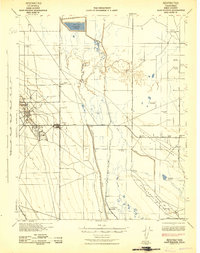
1942 · Hart Station
USGS Topo · 1:62,500

1943 · Simmler
USGS Topo · 1:62,500
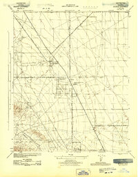
1943 · Belridge
USGS Topo · 1:31,680
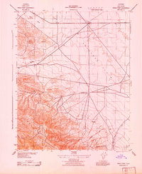
1943 · Shale Point
USGS Topo · 1:31,680
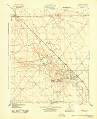
1943 · Blackwell
USGS Topo · 1:31,680

1948 · Bakersfield
USGS Topo · 1:250,000