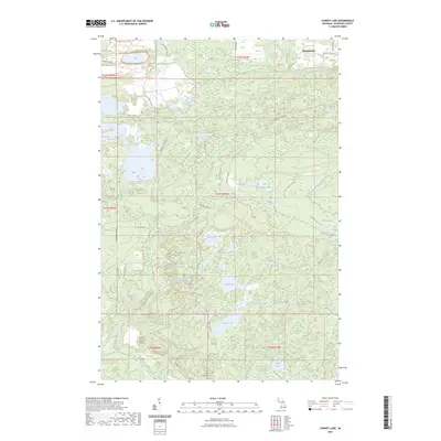
2023 Map of Carney Lake
USGS Topo · Published 2023About this map
Metropolitan sits in the northern reaches of this Dickinson County landscape, a region defined by its complex network of glacial lakes and the legacy of the Upper Peninsula's mining industry. The map highlights the transition from industrial extraction to recreation, with names like Groveland Mine Rd, Hanna Mine East Rd, and Calumet Mine Rd tracing the paths of former iron operations. These roads now weave through a dense hydrographic system featuring Carney Lake, Benton Lake, and the winding West Branch Sturgeon River.
Find a feature on this map
49 named features on this map. Tap any name to fly to it.
Don’t see what you’re looking for? This feature index may not catch every label — zoom into the map to look around manually.
Map Details
Editions of this 2023 Carney Lake Map
This is the sole edition of this map. No revisions or reprints were ever made.
Other maps of this area

1899 · Sagola
USGS Topo · 1:62,500

1939 · Iron Mountain
USGS Topo · 1:48,000

1941 · Iron Mountain
USGS Topo · 1:48,000

1947 · Iron Mountain
USGS Topo · 1:48,000

1954 · Iron Mountain
USGS Topo · 1:250,000

1954 · Escanaba
USGS Topo · 1:250,000

1955 · Norway
USGS Topo · 1:24,000

1955 · Vulcan
USGS Topo · 1:24,000

1955 · Norway
USGS Topo · 1:62,500
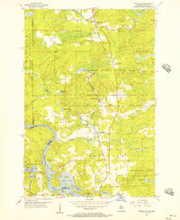
1955 · Randville
USGS Topo · 1:24,000