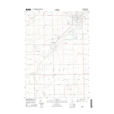
2014 Map of Caro
USGS Topo · Published 2014About this map
The Cass River winds through this region of Tuscola County, anchoring the primary settlement of Caro. This 2014 survey documents the community at the junction of the river and several key regional arteries, including E Dayton Rd and W Sanilac Rd. The landscape south of the town center transitions into the smaller community of Wahjamega, which is notable for its proximity to the Tuscola Area Airport. Genealogists will find several burial grounds mapped across the township, including Sacred Heart Catholic Cem near the town core and the more remote N Grove Cem to the southeast. The drainage patterns of the agricultural periphery are clearly defined by features like the Wiscoggin Drain and Evergreen Cr, showing the engineering of the local watershed in the early 21st century.
Find a feature on this map
48 named features on this map. Tap any name to fly to it.
Don’t see what you’re looking for? This feature index may not catch every label — zoom into the map to look around manually.
Map Details
Editions of this 2014 Caro Map
This is the sole edition of this map. No revisions or reprints were ever made.
Other maps of this area

1954 · Flint
USGS Topo · 1:250,000

1958 · Flint
USGS Topo · 1:250,000

1963 · East Dayton
USGS Topo · 1:24,000

1963 · Mayville
USGS Topo · 1:24,000

1963 · Fairgrove
USGS Topo · 1:24,000

1963 · Ellington
USGS Topo · 1:24,000

1963 · Gilford
USGS Topo · 1:24,000

1963 · Caro
USGS Topo · 1:24,000

1963 · Vassar
USGS Topo · 1:24,000

1963 · Juniata
USGS Topo · 1:24,000