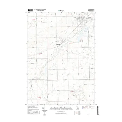
2017 Map of Caro
USGS Topo · Published 2017About this map
Caro serves as the primary hub of this landscape, situated at the confluence of several major county roads including W Caro Rd and Mertz Rd. The town's layout is defined by a dense grid of streets such as W Sherman St and Allen St, with the Sacred Heart Catholic Cem positioned on its eastern edge. Beyond the town limits, the terrain is shaped by the winding path of the Cass River, which flows southwest toward the settlement of Wahjamega.
Find a feature on this map
91 named features on this map. Tap any name to fly to it.
Don’t see what you’re looking for? This feature index may not catch every label — zoom into the map to look around manually.
Map Details
Editions of this 2017 Caro Map
This is the sole edition of this map. No revisions or reprints were ever made.
Other maps of this area

1954 · Flint
USGS Topo · 1:250,000

1958 · Flint
USGS Topo · 1:250,000

1963 · East Dayton
USGS Topo · 1:24,000

1963 · Mayville
USGS Topo · 1:24,000

1963 · Fairgrove
USGS Topo · 1:24,000

1963 · Ellington
USGS Topo · 1:24,000

1963 · Gilford
USGS Topo · 1:24,000

1963 · Caro
USGS Topo · 1:24,000

1963 · Vassar
USGS Topo · 1:24,000

1963 · Juniata
USGS Topo · 1:24,000