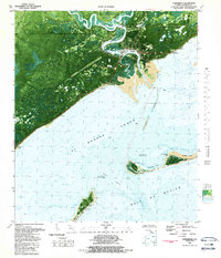
1981 Map of Carrabelle
USGS Topo · Published 1989About this map
Carrabelle is the focal point of this coastal survey, situated where the Crooked River and New River meet to form the Carrabelle River. The settlement pattern reflects a deeply integrated maritime and military presence during the early 1980s, featuring the Carrabelle Lookout Tower and the U S Air Force Tracking Station near the river mouth. The town's layout includes a High School and reaches down toward the shoreline at Carrabelle Beach.
Find a feature on this map
40 named features on this map. Tap any name to fly to it.
Don’t see what you’re looking for? This feature index may not catch every label — zoom into the map to look around manually.
Map Details
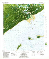
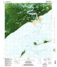
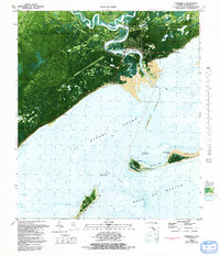
Editions of this 1981 Carrabelle Map
4 editions found
Other maps of this area

1943 · Dog Island
USGS Topo · 1:31,680

1943 · Carrabelle
USGS Topo · 1:24,000

1944 · Pickett Bay
USGS Topo · 1:31,680

1944 · Carrabelle
USGS Topo · 1:31,680

1944 · Green Point
USGS Topo · 1:31,680

1944 · Sugar Hill
USGS Topo · 1:31,680

1945 · Tates Hell Swamp
USGS Topo · 1:31,680

1945 · Mc Intyre
USGS Topo · 1:31,680

1945 · Sugar Hill
USGS Topo · 1:31,680

1945 · Pickett Bay
USGS Topo · 1:31,680