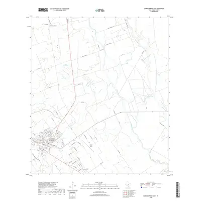
2019 Map of Carrizo Springs East
USGS Topo · Published 2019About this map
Carrizo Springs serves as the focal point of this South Texas landscape, where the urban grid meets the agricultural and brush land of Dimmit County. The map captures the settlement patterns of Carrizo Hill and Winter Haven, connected by a network of rural routes like Adolph Fehlis Rd and Mandell Rd. Hydrological features dominate the eastern half of the quadrangle, defined by the winding course of the Nueces River and several significant sloughs, including Soldier Slough and Line Oak Slough. These water systems, alongside Soldier Lake and the Allen North Lake complex, illustrate the essential role of water management in this semi-arid region. Transportation and infrastructure are anchored by the Dimmit County Airport and the convergence of regional roads that support the local economy and transit.
Find a feature on this map
75 named features on this map. Tap any name to fly to it.
Don’t see what you’re looking for? This feature index may not catch every label — zoom into the map to look around manually.
Map Details
Editions of this 2019 Carrizo Springs East Map
This is the sole edition of this map. No revisions or reprints were ever made.
Other maps of this area

1929 · Cotulla
USGS Topo · 1:125,000

1932 · Valley Wells
USGS Topo · 1:62,500

1939 · Carrizo Springs
USGS Topo · 1:62,500

1939 · Big Wells
USGS Topo · 1:62,500

1940 · Asherton
USGS Topo · 1:62,500

1940 · Catarina
USGS Topo · 1:62,500

1953 · Crystal City
USGS Topo · 1:250,000

1955 · Crystal City
USGS Topo · 1:250,000

1961 · Crystal City
USGS Topo · 1:250,000

1968 · Crystal City
USGS Topo · 1:250,000