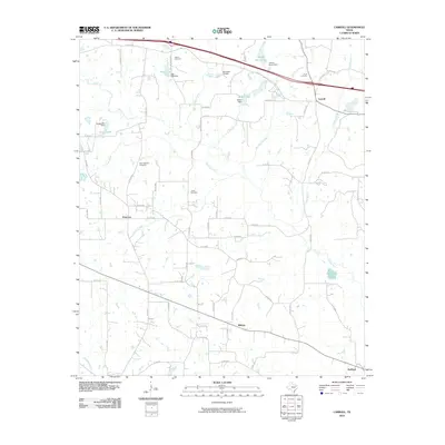
2010 Map of Carroll
USGS Topo · Published 2010About this map
The Neches River winds through this East Texas landscape, defining the local drainage patterns for numerous small creeks and branches. Small rural communities like Primrose, Midway, Carroll, and Redland anchor the region, connected by a dense grid of county roads. For those researching family history, several prominent burial grounds are documented, including Galena Cemetery in the north and New Harmony Cemetery to the west.
Find a feature on this map
66 named features on this map. Tap any name to fly to it.
Don’t see what you’re looking for? This feature index may not catch every label — zoom into the map to look around manually.
Map Details
Editions of this 2010 Carroll Map
This is the sole edition of this map. No revisions or reprints were ever made.
Other maps of this area

1948 · Tyler
USGS Topo · 1:62,500

1948 · Brownsboro
USGS Topo · 1:62,500

1949 · Tyler
USGS Topo · 1:62,500

1949 · Brownsboro
USGS Topo · 1:62,500

1956 · Tyler
USGS Topo · 1:250,000

1959 · Van
USGS Topo · 1:24,000

1959 · Van Lake
USGS Topo · 1:24,000

1959 · Grand Saline
USGS Topo · 1:62,500

1960 · Lindale
USGS Topo · 1:24,000

1966 · Chandler
USGS Topo · 1:24,000