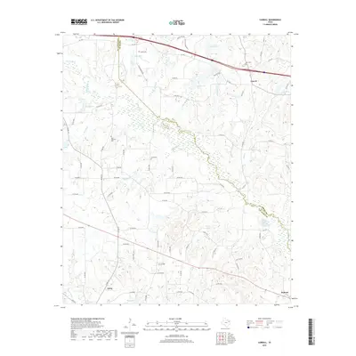
2019 Map of Carroll
USGS Topo · Published 2019About this map
The Neches River meanders across this landscape, forming a natural boundary between Smith Co and Van Zandt Co. Along this riparian corridor, the terrain is characterized by a dense network of water bodies, including Butler Lake, Storr Lake, and Young Lake, alongside smaller tributaries like Prairie Cr and Horsley Cr. The settlement of Edom sits in the southwestern portion of the map, while Carroll and Redland anchor the eastern side. Family and community heritage is well-preserved through several small burial sites, such as Jacob Cem, New Harmony Cem, and Dover Cem. The transport network shows a mix of modern infrastructure like I- 20 W and traditional farm-to-market routes like FM 1995 and FM 279, connecting these rural communities and the surrounding agricultural lands.
Find a feature on this map
80 named features on this map. Tap any name to fly to it.
Don’t see what you’re looking for? This feature index may not catch every label — zoom into the map to look around manually.
Map Details
Editions of this 2019 Carroll Map
This is the sole edition of this map. No revisions or reprints were ever made.
Other maps of this area
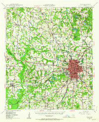
1948 · Tyler
USGS Topo · 1:62,500
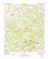
1948 · Brownsboro
USGS Topo · 1:62,500
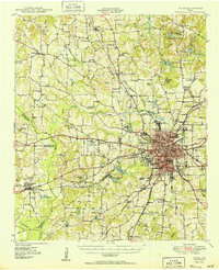
1949 · Tyler
USGS Topo · 1:62,500
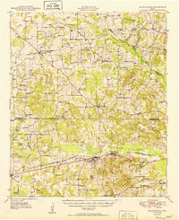
1949 · Brownsboro
USGS Topo · 1:62,500

1956 · Tyler
USGS Topo · 1:250,000
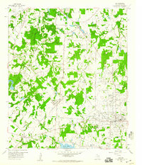
1959 · Van
USGS Topo · 1:24,000
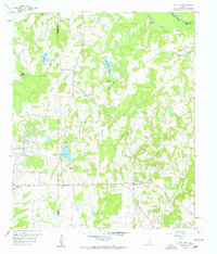
1959 · Van Lake
USGS Topo · 1:24,000
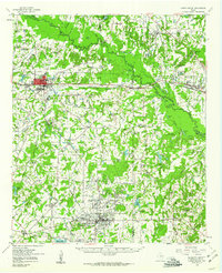
1959 · Grand Saline
USGS Topo · 1:62,500
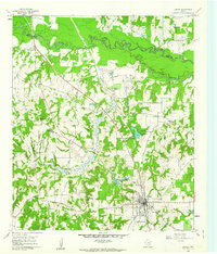
1960 · Lindale
USGS Topo · 1:24,000
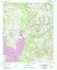
1966 · Chandler
USGS Topo · 1:24,000