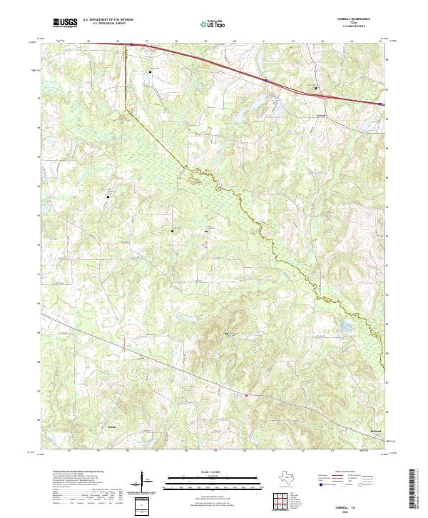
2022 Map of Carroll
USGS Topo · Published 2022About this map
The Neches River winds through the heart of this landscape, marking the boundary between Van Zandt and Smith counties. The terrain is characterized by a high density of small water bodies and drainage systems, including Young Lake, Hunter Brush Lake, and the meandering Prairie Cr. This area of East Texas exhibits a dispersed settlement pattern typical of its agricultural roots, anchored by the communities of Carroll in the northeast and Edom and Redland to the south. For those researching local families, the map is remarkably dense with burial sites. Genealogists can locate New Harmony Cem, Frontier Red Hill Cem, Galena Cem, and Prairie Creek Cem, among others, which serve as primary anchors for the region's historical family names and community centers. The northern portion is bisected by the modern path of Interstate 20, contrasting with the web of older county roads like Co RD 4912 that connect the scattered farmsteads.
Find a feature on this map
82 named features on this map. Tap any name to fly to it.
Don’t see what you’re looking for? This feature index may not catch every label — zoom into the map to look around manually.
Map Details
Editions of this 2022 Carroll Map
This is the sole edition of this map. No revisions or reprints were ever made.
Other maps of this area

1948 · Tyler
USGS Topo · 1:62,500

1948 · Brownsboro
USGS Topo · 1:62,500

1949 · Tyler
USGS Topo · 1:62,500

1949 · Brownsboro
USGS Topo · 1:62,500

1956 · Tyler
USGS Topo · 1:250,000

1959 · Van
USGS Topo · 1:24,000

1959 · Van Lake
USGS Topo · 1:24,000

1959 · Grand Saline
USGS Topo · 1:62,500

1960 · Lindale
USGS Topo · 1:24,000

1966 · Chandler
USGS Topo · 1:24,000