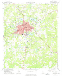
1973 Map of Carrollton
USGS Topo · Published 1975About this map
Carrollton serves as the bustling hub of this 1970s survey, defined by its traditional street grid centered around the Courthouse and City Hall. The footprint of West Georgia College marks the western edge of the city, while the Central of Georgia railroad provides the industrial spine for the region, connecting the main town to smaller outlying settlements like Clem and Curtis. To the northeast, Lake Carroll and the nearby Fairgrounds offer clear evidence of the community's mid-century expansion and recreational development.
Find a feature on this map
55 named features on this map. Tap any name to fly to it.
Don’t see what you’re looking for? This feature index may not catch every label — zoom into the map to look around manually.
Map Details
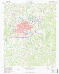
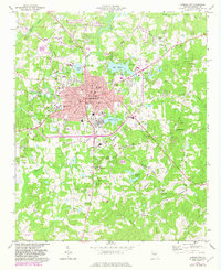
Editions of this 1973 Carrollton Map
3 editions found
Other maps of this area

1889 · Tallapoosa
USGS Topo · 1:125,000

1891 · Marietta
USGS Topo · 1:125,000

1892 · Tallapoosa
USGS Topo · 1:125,000

1895 · Marietta
USGS Topo · 1:125,000

1897 · Marietta
USGS Topo · 1:125,000

1897 · Tallapoosa
USGS Topo · 1:125,000

1899 · Wedowee
USGS Topo · 1:125,000

1901 · Marietta
USGS Topo · 1:125,000

1902 · Wedowee
USGS Topo · 1:125,000

1953 · Atlanta
USGS Topo · 1:250,000