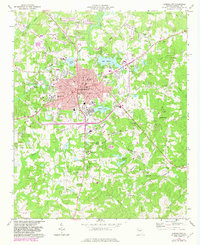
1973 Map of Carrollton
USGS Topo · Published 1983About this map
Carrollton serves as the focal point of this 1970s survey, centered on the expansion of West Georgia College and the surrounding infrastructure of Carroll County. The urban core is detailed with civic landmarks like the Courthouse, City Hall, and Library, while the periphery shows a mix of educational and social institutions including Oak Mountain Academy and Central High Sch. Water defines the local geography, with the Little Tallapoosa River winding north of town and Lake Carroll providing a significant recreational and utility feature.
Find a feature on this map
63 named features on this map. Tap any name to fly to it.
Don’t see what you’re looking for? This feature index may not catch every label — zoom into the map to look around manually.
Map Details
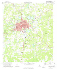
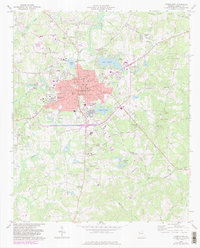
Editions of this 1973 Carrollton Map
3 editions found
Other maps of this area

1889 · Tallapoosa
USGS Topo · 1:125,000

1891 · Marietta
USGS Topo · 1:125,000

1892 · Tallapoosa
USGS Topo · 1:125,000

1895 · Marietta
USGS Topo · 1:125,000

1897 · Marietta
USGS Topo · 1:125,000

1897 · Tallapoosa
USGS Topo · 1:125,000

1899 · Wedowee
USGS Topo · 1:125,000

1901 · Marietta
USGS Topo · 1:125,000

1902 · Wedowee
USGS Topo · 1:125,000

1953 · Atlanta
USGS Topo · 1:250,000