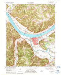
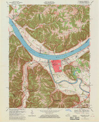
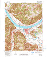
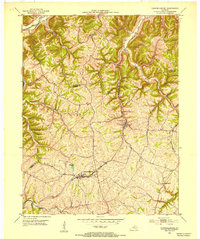
1967 Map of Carrollton
USGS Topo · Published 1988About this map
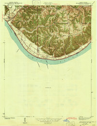
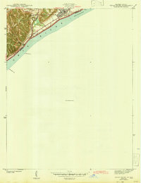
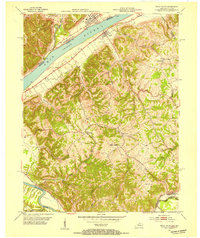
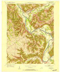
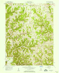
The Kentucky River and Ohio River converge at the heart of this region, shaping the layout of Carrollton and the neighboring settlement of Prestonville. The town grid in Carrollton includes the Courthouse, Post Office, and City Hall, flanked by the expansive grounds of General Butler State Park and Indian Hills. High ground is defined by prominent landforms such as Splinter Ridge, Craig Ridge, and Thorn Ridge, where small rural communities like Five Points and Lamb are situated. Local life is mapped through several churches and schools, including Mt Zion Ch, St Johns Sch, and the County Jr High Sch. The map also captures the Indiana-Kentucky border along the Ohio River, noting the position of the low water line as determined by early 20th-century Corps of Engineers charts.
Find a feature on this map
47 named features on this map. Tap any name to fly to it.
Don’t see what you’re looking for? This feature index may not catch every label — zoom into the map to look around manually.
Map Details
Editions of this 1967 Carrollton Map
4 editions found

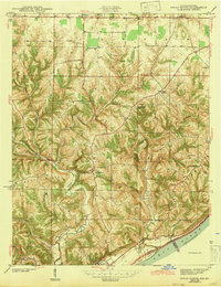
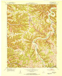
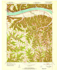
Other maps of this area
1943 · Vevay North
USGS Topo · 1:24,000
1943 · Brooksburg
USGS Topo · 1:24,000
1943 · Vevay South
USGS Topo · 1:24,000
1952 · Vevay South
USGS Topo · 1:24,000
1952 · Worthville
USGS Topo · 1:24,000
1952 · Campbellsburg
USGS Topo · 1:24,000
1953 · Bedford
USGS Topo · 1:24,000
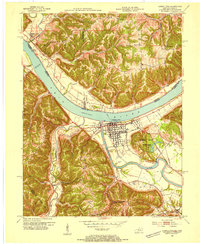
1953 · Carrollton
USGS Topo · 1:24,000
1953 · Madison East
USGS Topo · 1:24,000
1956 · Bennington
USGS Topo · 1:24,000