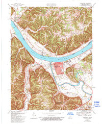
1967 Map of Carrollton
USGS Topo · Published 1994About this map
The confluence of the Ohio River and the Kentucky River serves as the focal point for this landscape, where the town of Carrollton sits on the southern bank. Across the water, Prestonville occupies the point between the two rivers, while the Indiana side features the small settlement of Brooksburg. The topography transitions from the broad river bottomlands of Greens Bottom to the dissected uplands of Milton and Craig, where ridges like Lick Ridge and North Ridge divide numerous creek drainages.
Find a feature on this map
51 named features on this map. Tap any name to fly to it.
Don’t see what you’re looking for? This feature index may not catch every label — zoom into the map to look around manually.
Map Details
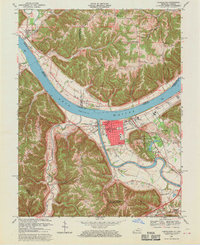
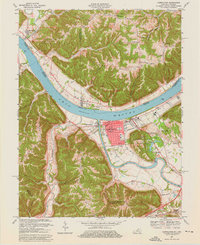
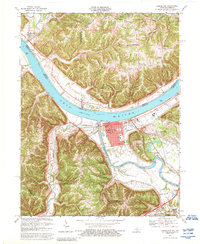
Editions of this 1967 Carrollton Map
4 editions found
Other maps of this area

1943 · Vevay North
USGS Topo · 1:24,000

1943 · Brooksburg
USGS Topo · 1:24,000

1943 · Vevay South
USGS Topo · 1:24,000

1952 · Vevay South
USGS Topo · 1:24,000

1952 · Worthville
USGS Topo · 1:24,000

1952 · Campbellsburg
USGS Topo · 1:24,000

1953 · Bedford
USGS Topo · 1:24,000

1953 · Carrollton
USGS Topo · 1:24,000

1953 · Madison East
USGS Topo · 1:24,000

1956 · Bennington
USGS Topo · 1:24,000