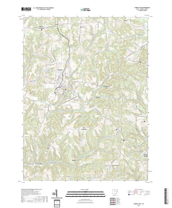
2023 Map of Carrollton
USGS Topo · Published 2023About this map
Carrollton serves as the central hub of this eastern Ohio landscape, where the local terrain is defined by the diverging waters of Town Creek and Indian Fork. The map reveals a high density of rural genealogy markers, from the County Home Cem in the north to the Harlem Springs Cem near the eastern border. Small crossroads settlements like Wherrys Crossroads, Toots Crossroads, and Pigtown suggest the enduring importance of historical intersections in Carroll County. Aviation and infrastructure are represented by the Carroll County-Tolson Airport and the Carroll Kemp Corporation Reservoir, situated just west of the main town. The drainage patterns of Gantz Creek and Friday Creek carve through the agricultural hills, connecting the outlying communities of Waterloo and Petersburgh to the county seat.
Find a feature on this map
68 named features on this map. Tap any name to fly to it.
Don’t see what you’re looking for? This feature index may not catch every label — zoom into the map to look around manually.
Map Details
Editions of this 2023 Carrollton Map
This is the sole edition of this map. No revisions or reprints were ever made.
Other maps of this area

1901 · Cadiz
USGS Topo · 1:62,500

1902 · Scio
USGS Topo · 1:62,500

1903 · Cadiz
USGS Topo · 1:62,500

1904 · Scio
USGS Topo · 1:62,500

1905 · Salineville
USGS Topo · 1:62,500

1910 · Carrollton
USGS Topo · 1:62,500

1912 · Carrollton
USGS Topo · 1:62,500

1951 · Canton
USGS Topo · 1:250,000

1953 · Canton
USGS Topo · 1:250,000

1957 · Canton
USGS Topo · 1:250,000