
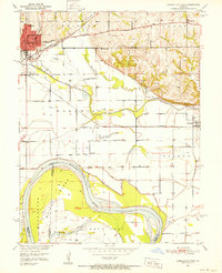
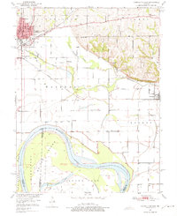
1951 Map of Carrollton East
USGS Topo · Published 1952About this map
The Missouri River and its shifting bottomlands dominate this 1950s survey of Carroll County, where the wide Cranberry Chute and Middleton Island define the waterway's complex path. The industrial and transit hub of Carrollton sits on higher ground to the northwest, anchored by its Courthouse and Post Office, while the Atchison Topeka and Santa Fe and Wabash railroads converge nearby to serve the region's agricultural economy.
Find a feature on this map
34 named features on this map. Tap any name to fly to it.
Don’t see what you’re looking for? This feature index may not catch every label — zoom into the map to look around manually.
Map Details
Editions of this 1951 Carrollton East Map
4 editions found

Other maps of this area

1889 · Lexington
USGS Topo · 1:125,000

1890 · Marshall
USGS Topo · 1:125,000

1892 · Marshall
USGS Topo · 1:125,000

1901 · Marshall
USGS Topo · 1:125,000

1951 · Bosworth
USGS Topo · 1:24,000

1951 · Miami Station
USGS Topo · 1:24,000
1951 · Standish
USGS Topo · 1:24,000

1951 · Waverly
USGS Topo · 1:24,000

1953 · Moberly
USGS Topo · 1:250,000
1953 · Grand Pass
USGS Topo · 1:24,000