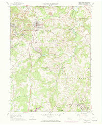
1961 Map of Carrolltown
USGS Topo · Published 1973About this map
Deep-set valleys and industrial activity characterize this region of Cambria County during the early 1960s, with updates showing development through the early 1970s. The coal industry is prominently visible through numerous Strip Mines and an Air Shaft dotting the landscape, particularly around Bakerton. While extraction defines the hills, religious and educational centers like St Benedicts Sch in Carrolltown and the Saint Therese of Lisieux Monastery near Loretto serve as the anchors for local communities.
Find a feature on this map
48 named features on this map. Tap any name to fly to it.
Don’t see what you’re looking for? This feature index may not catch every label — zoom into the map to look around manually.
Map Details
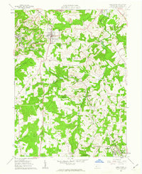
Editions of this 1961 Carrolltown Map
2 editions found
Other maps of this area

1902 · Ebensburg
USGS Topo · 1:62,500

1902 · Patton
USGS Topo · 1:62,500

1902 · Barnesboro
USGS Topo · 1:62,500

1904 · Barnesboro
USGS Topo · 1:62,500

1904 · Patton
USGS Topo · 1:62,500

1904 · Ebensburg
USGS Topo · 1:62,500

1904 · Johnstown
USGS Topo · 1:62,500

1907 · Johnstown
USGS Topo · 1:62,500

1943 · Punxsutawney
USGS Topo · 1:125,000

1953 · Pittsburgh
USGS Topo · 1:250,000