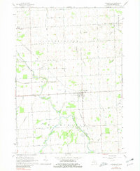
1963 Map of Carsonville
USGS Topo · Published 1981About this map
Carsonville serves as the central hub of this agricultural landscape in Sanilac County, where the Chesapeake and Ohio railroad cuts diagonally through the townships of Bridgehampton and Washington. The map captures a detailed snapshot of rural life during the early 1960s, evidenced by the distribution of small country schools like Baker School and Black River School. Water management is a defining characteristic of the terrain, shown through an extensive network of named drainages such as Five Mile Drain and Shrapnell Drain that feed into the larger channels of the Black River and Elk Creek. Cultural landmarks including the Drive-in Theater near Roadside Park and several local burial grounds like Mt Zion Cemetery provide rich detail for local history and genealogical research, documenting the community structure before modern consolidation.
Find a feature on this map
45 named features on this map. Tap any name to fly to it.
Don’t see what you’re looking for? This feature index may not catch every label — zoom into the map to look around manually.
Map Details
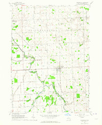
Editions of this 1963 Carsonville Map
2 editions found
Other maps of this area

1954 · Flint
USGS Topo · 1:250,000

1958 · Flint
USGS Topo · 1:250,000

1963 · Sandusky
USGS Topo · 1:24,000

1963 · Peck
USGS Topo · 1:24,000

1963 · Croswell
USGS Topo · 1:24,000

1963 · Port Sanilac
USGS Topo · 1:24,000

1963 · Palms
USGS Topo · 1:24,000

1963 · Applegate
USGS Topo · 1:24,000

1963 · Deckerville
USGS Topo · 1:24,000

1963 · Richmondville
USGS Topo · 1:24,000
Featured Places
- Carsonville, MI
- Forester Township, MI
- Bridgehampton Township, MI
- Washington Township, MI
- Sanilac Township, MI