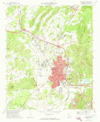
1972 Map of Cartersville
USGS Topo · Published 1974About this map
The Etowah River anchors the southern landscape of this early 1970s survey, where ancient Indian Mounds stand in proximity to the industrial growth of Cartersville. The town’s transition from a rail-dependent hub to a modernizing city is evident in the dense street grid of the Satterfield and Atco neighborhoods, contrasted with the extensive Strip Mines and quarries to the east. Transportation corridors like the Seaboard Coast Line and Louisville and Nashville railroads reveal the historical shipping routes that sustained the local economy.
Find a feature on this map
78 named features on this map. Tap any name to fly to it.
Don’t see what you’re looking for? This feature index may not catch every label — zoom into the map to look around manually.
Map Details
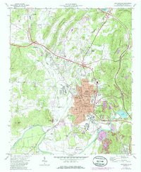
Editions of this 1972 Cartersville Map
2 editions found
Other maps of this area

1890 · Cartersville
USGS Topo · 1:125,000

1891 · Cartersville
USGS Topo · 1:125,000

1896 · Cartersville
USGS Topo · 1:125,000

1906 · Stilesboro
USGS Topo · 1:62,500

1907 · Acworth
USGS Topo · 1:62,500

1908 · Stilesboro
USGS Topo · 1:62,500

1909 · Acworth
USGS Topo · 1:62,500

1941 · Adairsville
USGS Topo · 1:62,500

1944 · Adairsville
USGS Topo · 1:62,500

1947 · Waleska
USGS Topo · 1:62,500